Contact Us

Use the form on the right to contact us.

You can edit the text in this area, and change where the contact form on the right submits to, by entering edit mode using the modes on the bottom right. 


123 Street Avenue, City Town, 99999

(123) 555-6789

email@address.com


You can set your address, phone number, email and site description in the settings tab.
Link to read me page with more information.

Tignish (1947)

Maps

Tignish (1947)

TopoMapTignish1947c.jpg
TopoMapTignish1947a.jpg
TopoMapTignish1947b.jpg
TopoMapTignish1947e.jpg
TopoMapTignish1947f.jpg
TopoMapTignish1947d.jpg
TopoMapTignish1947g.jpg
TopoMapTignish1947h.jpg
TopoMapTignish1947i.jpg
TopoMapTignish1947c.jpg
TopoMapTignish1947a.jpg
TopoMapTignish1947b.jpg
TopoMapTignish1947e.jpg
TopoMapTignish1947f.jpg
TopoMapTignish1947d.jpg
TopoMapTignish1947g.jpg
TopoMapTignish1947h.jpg
TopoMapTignish1947i.jpg
TopoMapTignish1947c.jpg

Tignish (1947)

CA$50.00

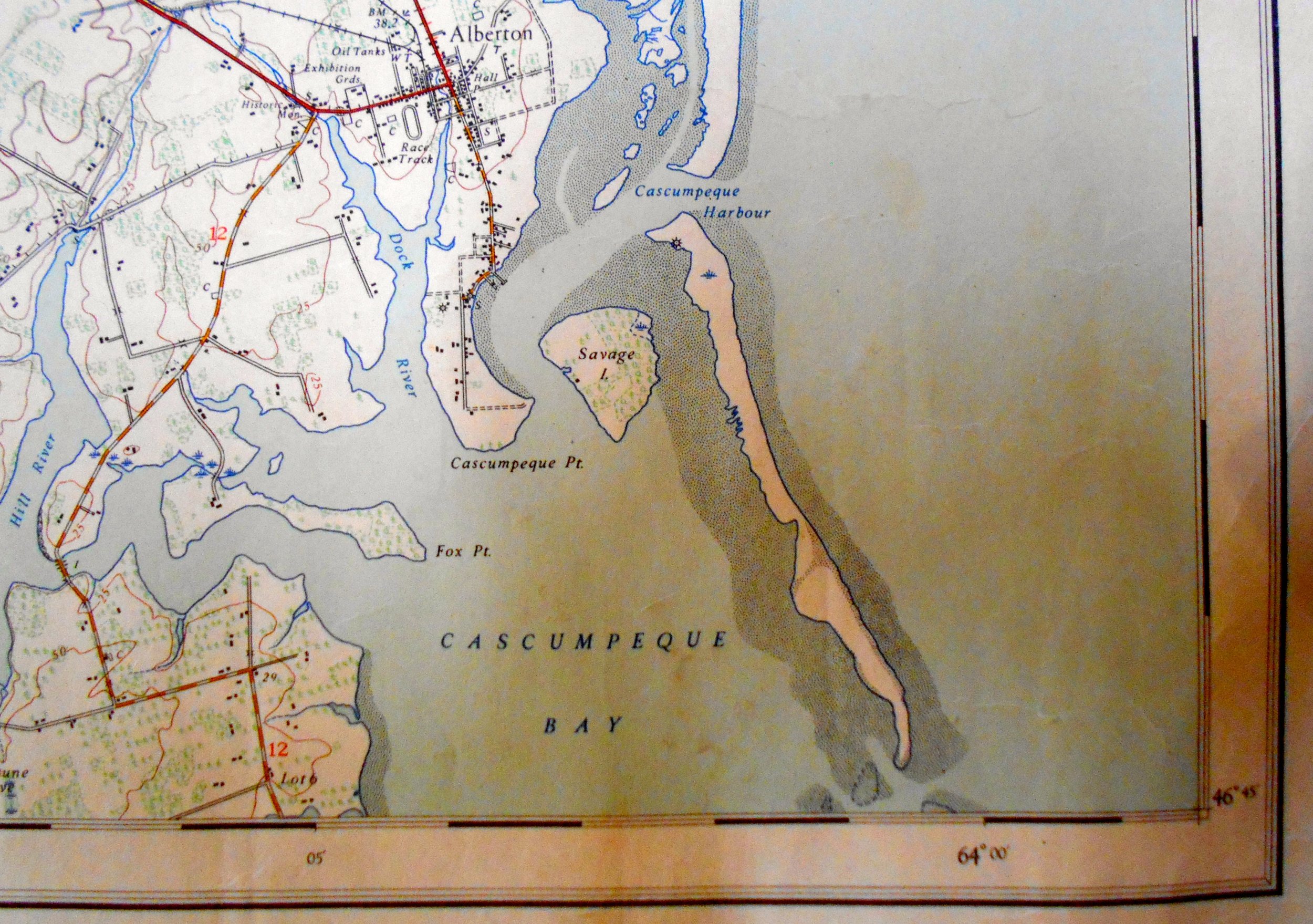
Title: Tignish, Prince Edward Island

Size: 22 1/2 x 20" (to the outer neat line)

Description: National Topographic Series. Published by the Department of National Defence, Ottawa. Based on a survey from 1946. Paper shows creasing from having been stored rolled. Paper somewhat age toned and foxed. A few marginal notations in pencil.

Add To Cart

Topographic map coverage of Canada is based on the National Topographic System (NTS). These maps depict in detail ground relief (landforms and terrain), drainage (lakes and rivers), forest cover, administrative areas, populated areas, transportation routes and facilities (including roads and railways), and other man-made features.