Maps
Gulf of St. Lawrence (1891)


Gulf of St. Lawrence (1891)
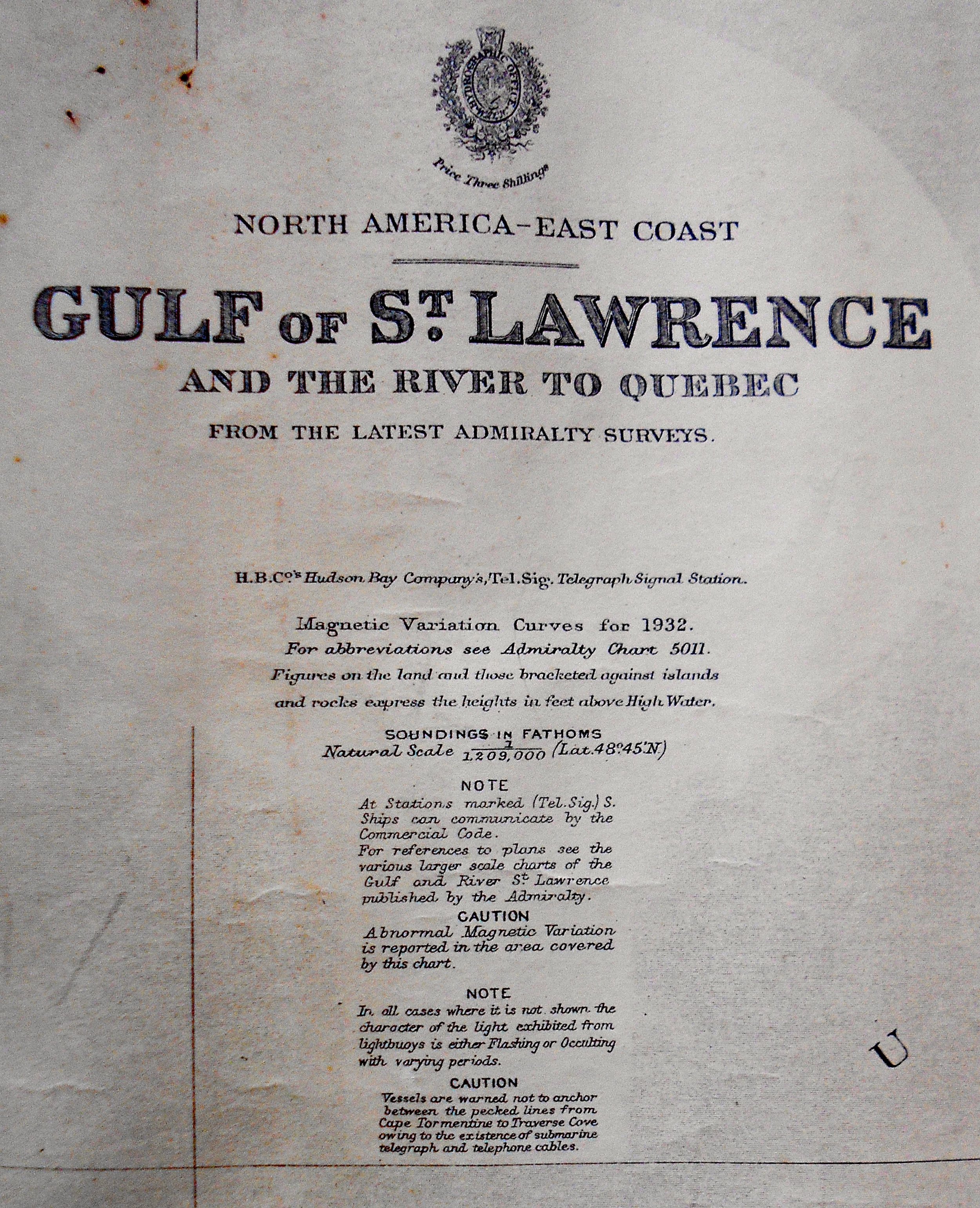
Title: North America - East Coast / Gulf of St. Lawrence / and the River to Quebec / From the latest Admiralty surveys.
Size: 25 1/2 x 38 1/2" to the neat line. Ample margins. Blank on reverse.
Description: Published by UK Admiralty, London: 1891. Includes large corrections to 1933, and small corrections to 1934. Shows wear consistent with age and usage.
A nautical, coastal, or sea chart is a graphic representation of a maritime area and adjacent coastal regions. It may show depths of water and heights of land, natural features of the seabed, details of the coastline, navigational hazards, locations of natural and human-made aids to navigation (such as lighthouses), information on tides and currents, local details of the Earth's magnetic field, and human-made structures such as harbours, buildings and bridges. Nautical charts are essential tools for marine navigation; many countries require vessels, especially commercial ships, to carry them. Inasmuch as they were working documents, the charts often show signs of use including creasing and soiling from handling.
Source: Wikipedia