Maps
Canada (1842)


Canada (1842)
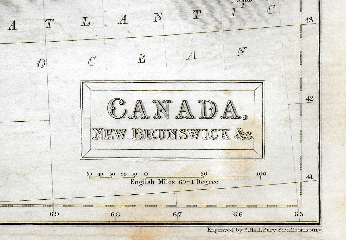
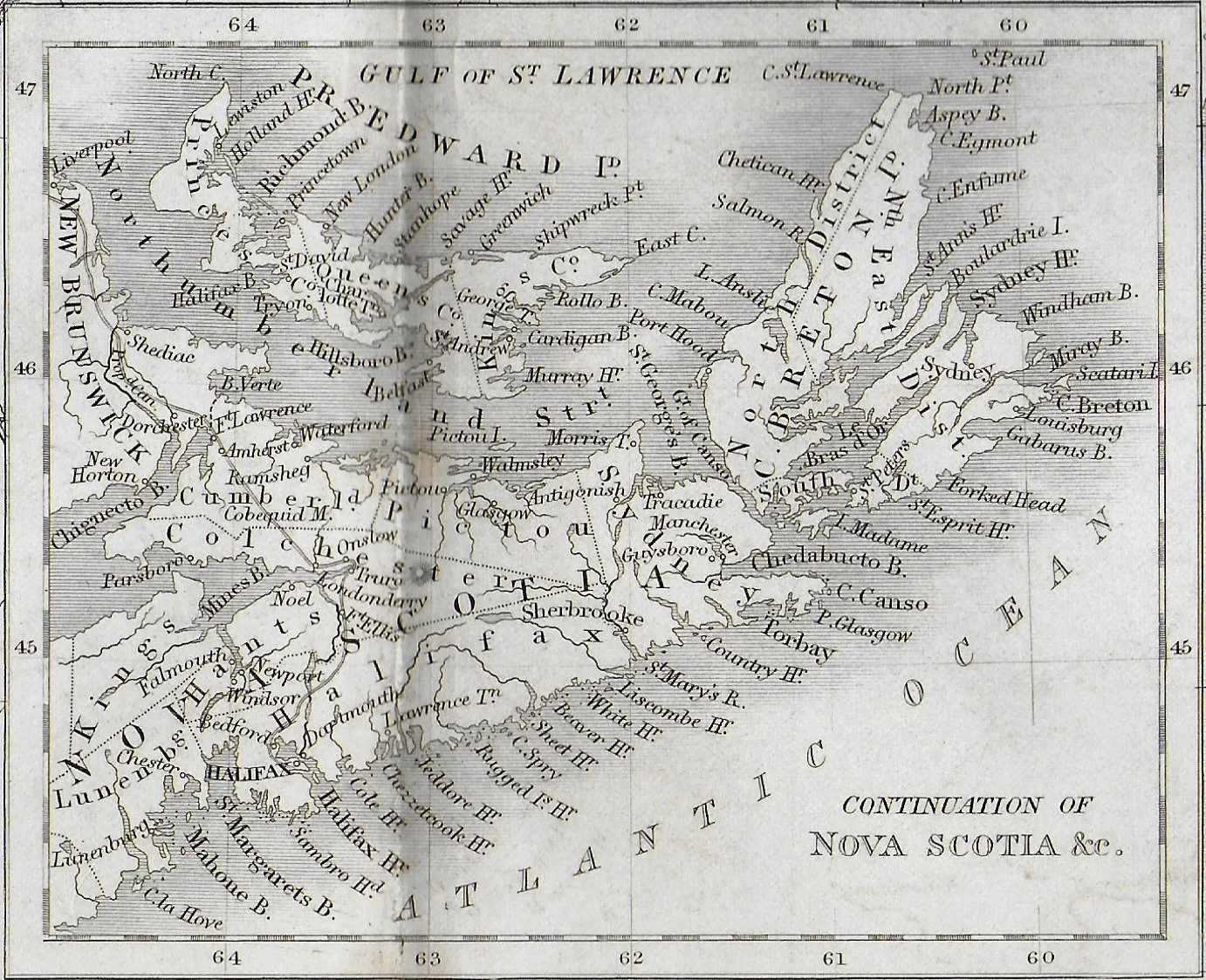
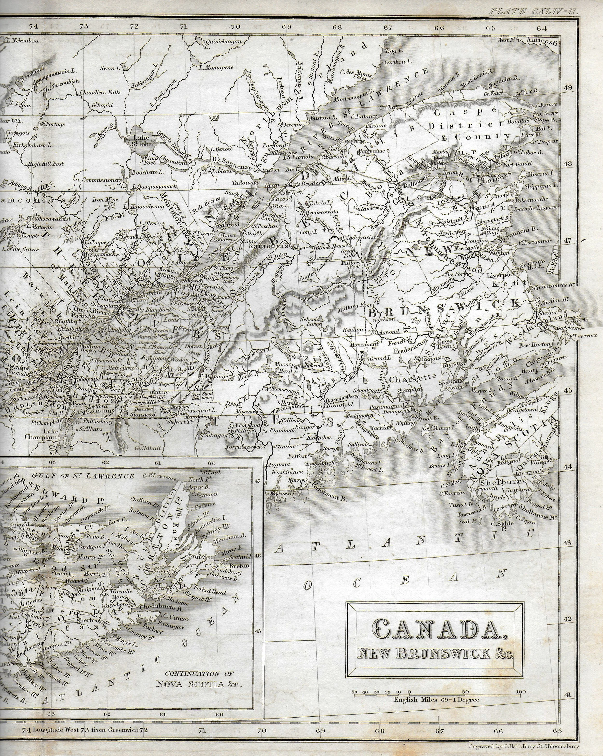
Title: Canada, New Brunswick, &c.
Engraver: Sidney Hall
Image size: 10” x 14 5/8” to the outer neat line
Description: A nice mid-19th-century pre-Confederation map showing Ontario, Quebec, and New Brunswick, along with an inset showing Nova Scotia, and Prince Edward Island. The map was liberated from a copy of the 7th-edition of the Britannic Encyclopedia, published in 1842. The map is a steel engraving. It shows a vertical centre-fold, as issued. The paper shows minor age toning and foxing. Overall, we rate the condition as fair to good.
Sidney Hall (1788?–1831) was a British engraver and cartographer. He made engravings for a number of international atlases at a time when cartography and atlases were very popular. He also engraved a series of cards for the various constellations, published c.1825 in a boxed set called Urania’s Mirror. Hall engraved maps for William Faden, Aaron Arrowsmith, and Chapman & Hall, among many others. He’s credited with being the first to use steel plates in map engraving. Hall died at the age of 42. The business was carried on by his widow, Selina, also a map engraver.