Ephemera
Map of Middle-earth
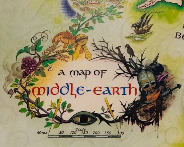
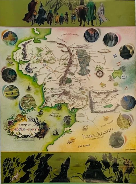
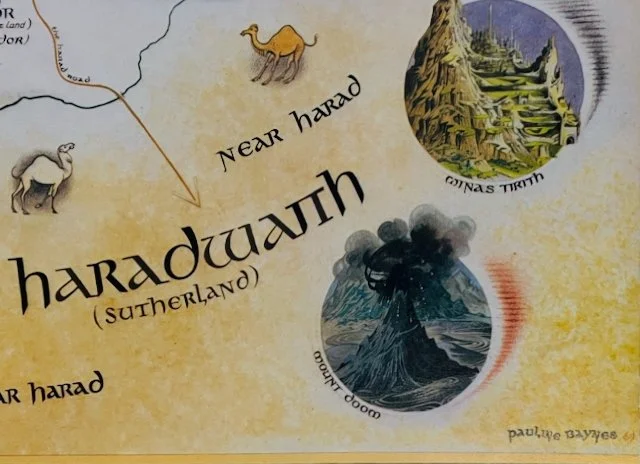
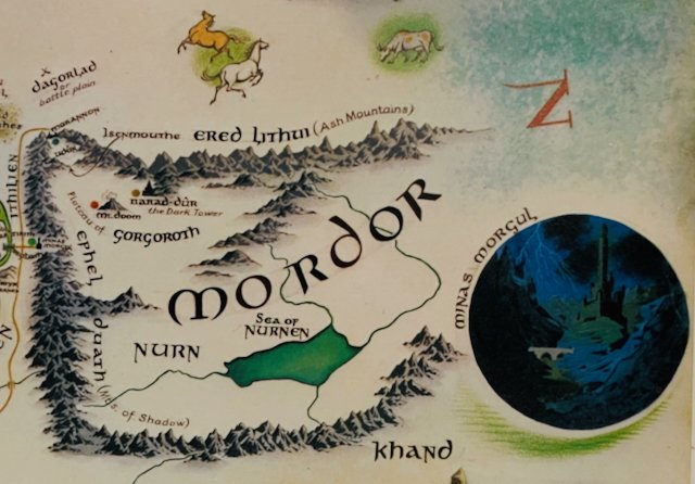
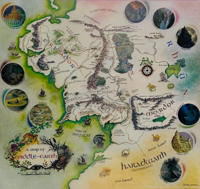
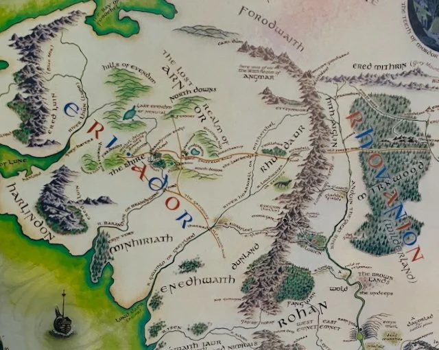

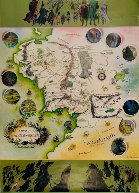
Map of Middle-earth
Title: A Map of Middle-Earth
Artist: Pauline Baynes
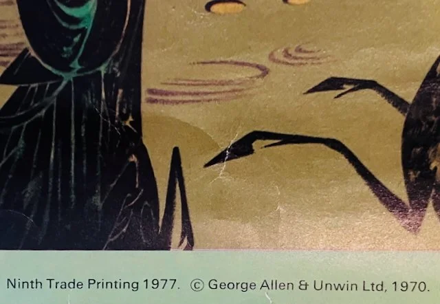
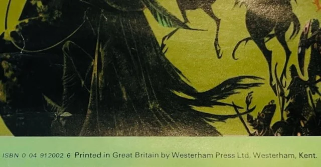
Publisher: George Allen & Unwin, 1970 (9th printing, 1977)
Image size: 19” x 20”
Page size: 28 3/4” x 20”
Description: Pictorial map depicting the land of J.R.R. Tolkien’s fiction. Shows minor creasing and soiling consistent with age and moderate usage. Pin-holes at corners. Overall, we rate the condition as fair to good. Not backed on canvas.
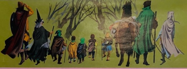
In J.R.R. Tolkien's fiction, Middle-earth is the central continent of Arda (the Earth of his created world). It is the main setting for his most famous books, including The Lord of the Rings and The Hobbit, and is inhabited by Elves, Dwarves, Men, and Hobbits.
Pauline Baynes (English, 1922–2008) drew pictures for more than 200 books. Apart from the illustrations she did for books by J.R.R. Tolkien, Baynes is also known for drawing the original pictures for C.S. Lewis's The Chronicles of Narnia. The Map of Middle Earth was painted by Pauline Baynes in 1969. The design was a collaboration between the artist and the author, J. R. R. Tolkien, and his youngest son, Christopher Tolkien. The pictorial or poster map version was first published in 1970, and followed by several further printings immediately after.